
Happy hiking and enjoy exploring Cantal!
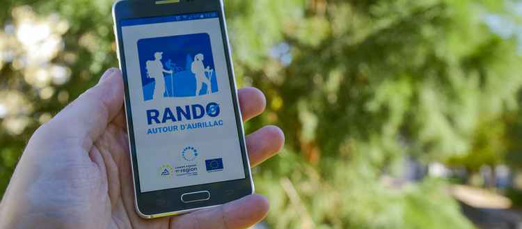
Our walking app, “Rando autour d’Aurillac” is now downloadable to your smartphone or tablet. It’s a great new digital tool to accompany you when you are hiking in the area.
Get your walking boots on and explore the area around Aurillac
Our walking app, “Rando autour d’Aurillac” is now downloadable to your smartphone or tablet. It’s a great new digital tool to accompany you when you are hiking in the area.
The app is very easy to use, doesn’t require any particular technical knowledge and is designed to suit all walkers from beginners to those with more experience.
It enables you to use your smartphone or tablet like a GPS when you are out hiking. What’s more, you don’t need to have an online connection. Simply download your chosen hiking trail and then access all the recorded information while you are on the walk. You will be constantly guided by arrows indicating the direction to follow and will also have access to information about sites of natural or cultural interest all along the way.
INSTRUCTIONS
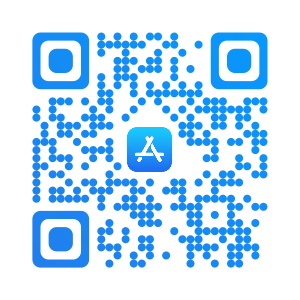
1 - Download the “Rando autour d’Aurillac” app free of charge from either Apple Store or Google Play Store. Activate the GPS on your smartphone or tablet and launch the app.

2 - Choose your hiking trail
Click “Carte des parcours” to view a map of all the hiking trails near you. You can also see all the trails in the part marked “Liste” in the top right-hand corner of the map. Now you can choose your hiking trail depending on the distance, duration, level of difficulty and location by clicking on the magnifying glass icon.
3 - Download your hiking trail
You must of course do this while you have online access. You may not be able to go online while out hiking, so the app will actually guide you using your device’s GPS. However, for this to work, you have to download the hiking itinerary onto your device beforehand and also make sure that your device has enough battery for use while out hiking.
4 - Ready to go!
Launch the app and let it guide you along. Details of the itinerary, your position, the distance covered and the time left will appear on the screen. A bonus feature is having access to information about sites of special interest related to the area’s heritage, viewpoints, traditions and activities. Access to information is through a variety of different messages (audio, texts or graphics). The app also offers quizzes for fun along the way. All the information is clearly presented and you are immediately made aware of points where paths or roads cross and warned if you stray away from the right way or head in the wrong direction. In the event of a problem and in areas where you have access to the telephone network, you can use the app’s SOS button to contact the emergency services. They will be able to immediately locate your position.
5 - Provide feedback
Please provide information about any problem you may come across along your hiking trail by getting in touch with Aurillac Local Authority (Communauté d’Agglomération du Bassin d’Aurillac, CABA). This is easy to do via the app by sending an Email with the exact GPS coordinates (either during your walk if you can go online or later). When you have finished the walk, you are invited to award a star rating to the hiking trail that can then be of use to other walkers.
Happy hiking and enjoy exploring Cantal!